Wren & Finch
Aerial Imagery and Maps

WELCOME
Christian Przybylek, Founder of Wren & Finch
I’m a seasoned geographer, FAA Part 107 licensed commercial drone pilot, and former Appalachian Trail thru-hiker based in Marietta, Pennsylvania, where I live with my fellow thru-hiker wife and our two kids. On the AT, my wife and I shared countless sunrises and sunsets, weathered tough storms, encountered elusive wildlife, learned what our bodies were capable of, and found a supportive community along the way. Since childhood, I have held a deep appreciation for nature and an insatiable curiosity about people and their relationships to their communities and environment. My journey on the AT only heightened that curiosity and instilled a desire to do more to help preserve and protect our natural world—it’s a part of us, and we’re a part of it.
I founded Wren & Finch Aerial Imagery and Maps as a part-time venture to channel my passions for nature, outdoor adventure, and human geography. Through drone services, geospatial analysis, and cartographic work, Wren & Finch supports conservation-minded organizations, small businesses, and individuals in protecting the places they care about.
My mission is to make data science accessible for local conservation efforts wherever it’s needed. I provide competitively priced drone photography and videography, cartographic design, and geospatial analysis for clients who may not otherwise have access to these skills or tools
I also write about geography, publish tutorials on GIS analysis, cartography, and drone operations, and sell custom-crafted maps through my highly reviewed Etsy shop. In my free time, I enjoy hiking, camping with my family, and exploring new places.

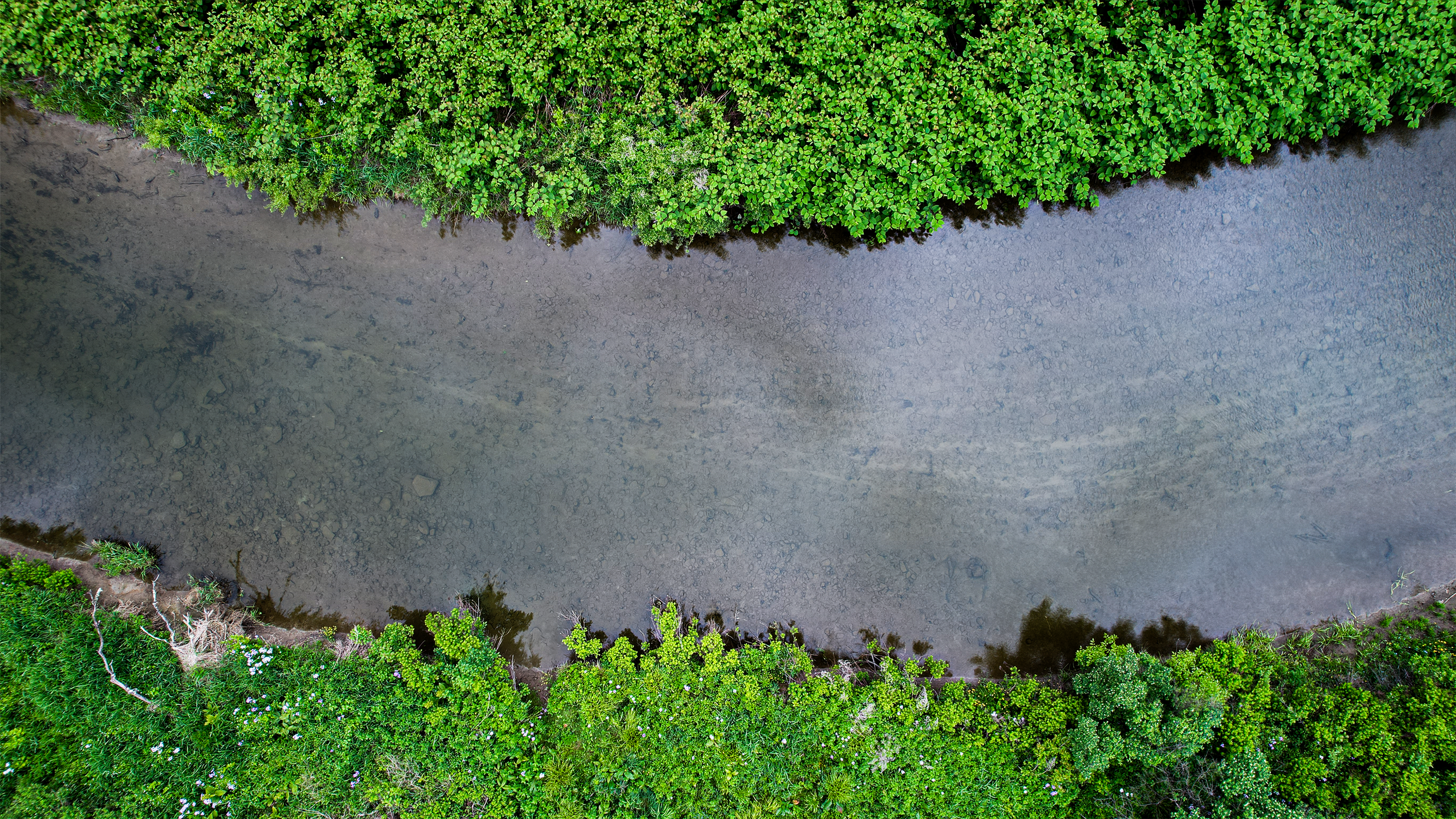
Aerial Imagery, Drone & GIS Services providing spatial analysis and visual storytelling for clients working in conservation, outdoor recreation, and sustainable agriculture.
Core services include:
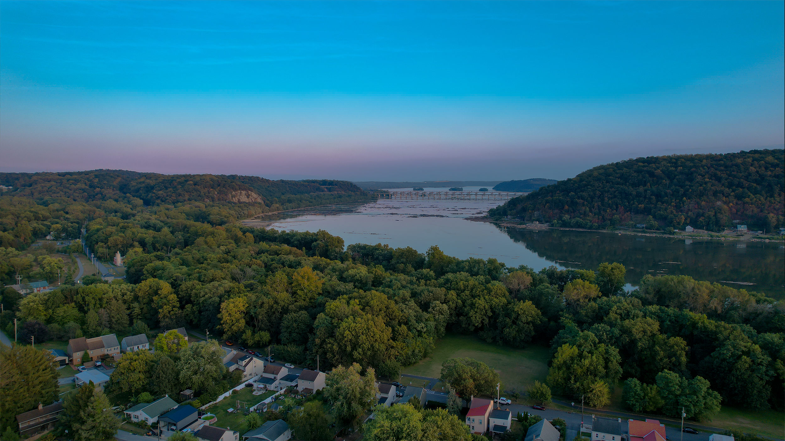
Photography
Film/videography
GIS orthoimagery & analysis
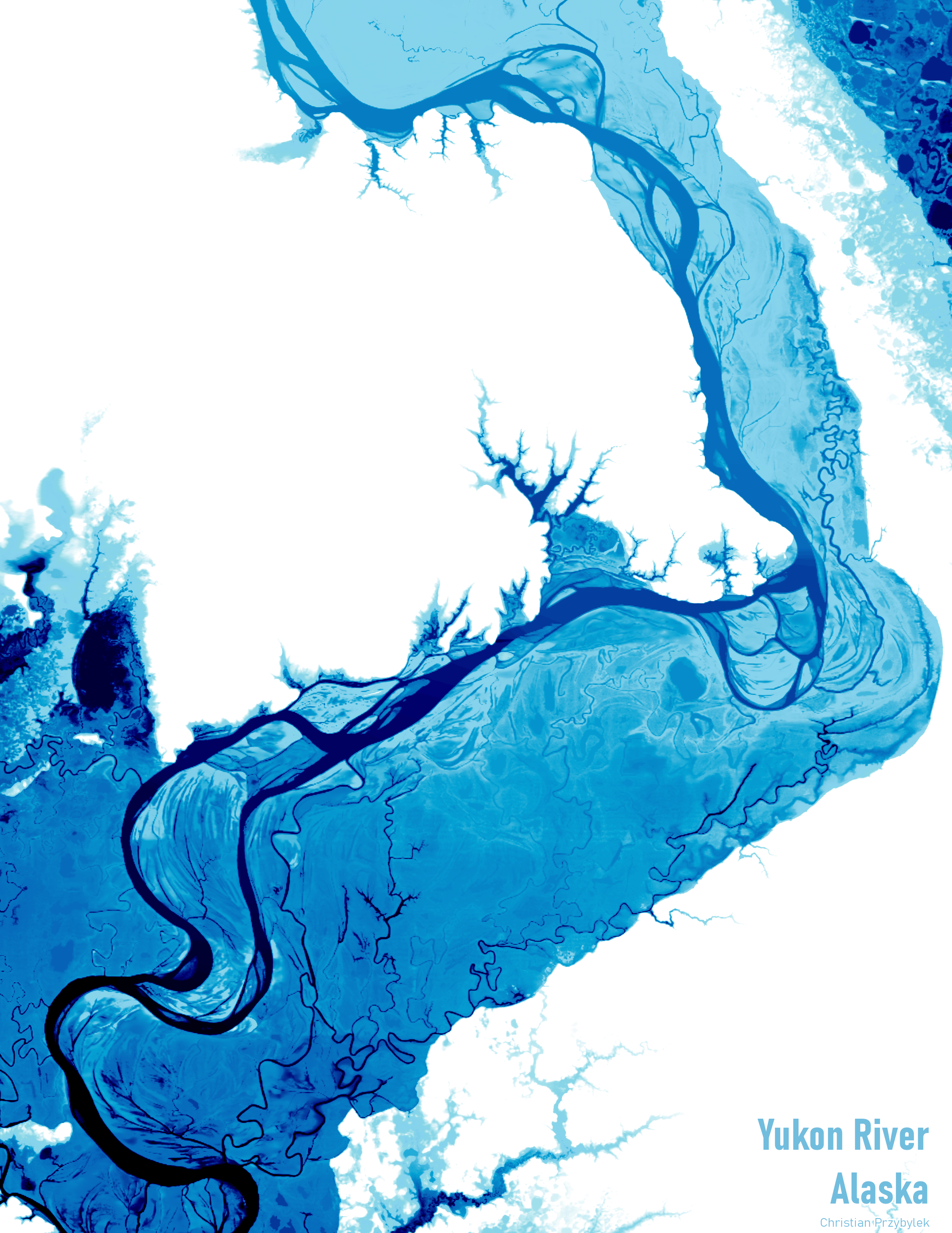
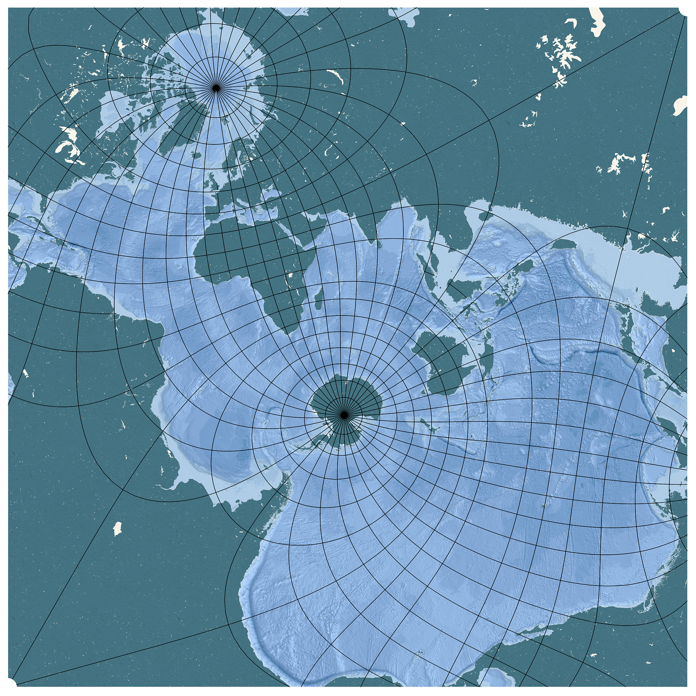
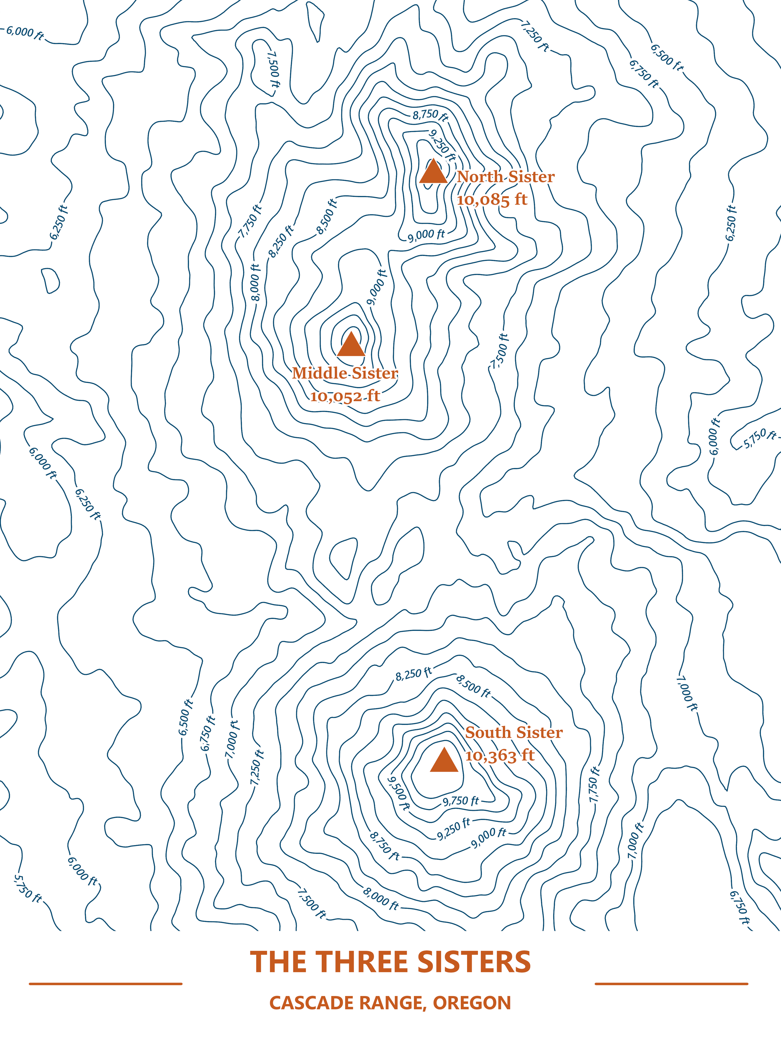
Cartographic design