

Day 11: 3-Dimensional Presidential Range Relief Map
3-Dimensional Presidential Range Relief Map
For today’s mapping challenge, my theme is 3D. For this map, I decided to make a 3D map of a section of the Presidential Range, an absolutely gorgeous part of New Hampshire’s White Mountains. The Appalachian National Scenic Trail (AT) crosses over the ridgeline of the Presidential and was among my favorite sections of the AT during my 2016 thru-hike. I decided it would be neat to map.
Approach
First, I set up a Global Scene in ArcGIS Pro. Then for my data I went into Esri’s Living Atlas and incorporated Esri’s versatile Topobathy Digital Elevation Model (DEM). Next, I used the Raster toolset in ArcGIS Pro to create several hillshades, mixing and matching traditional and multi-directional types and tinkering around azimuth and z values.
For my map’s symbology, I loaded John Nelson’s bespoke Imhof-like custom mapping style, one of my favorites, and played around with the color schemes and blend modes. Next, I turned on leaf-on aerial imagery and explored how it looked using various blend modes before landing on an effect that made the mountains pop. Below is my resulting 3D topographic relief map.
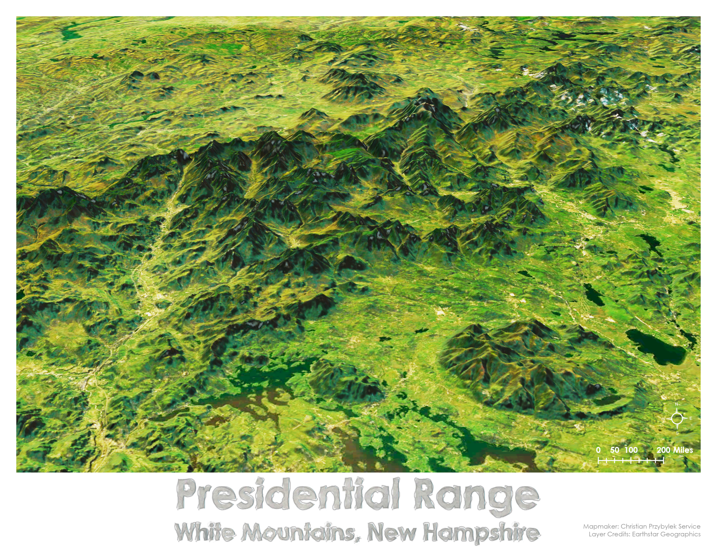
Overall, I am happy with how this map turned out. It almost has a watercolor like, hand drawn quality to it.